Aerial Property Mapping.
High-resolution RGB orthomosaic and property-scale aerial imagery. For clients who need current-condition aerial documentation without the multispectral or planning depth of a full engagement.
Current-Condition Aerial Documentation of Your Ground.
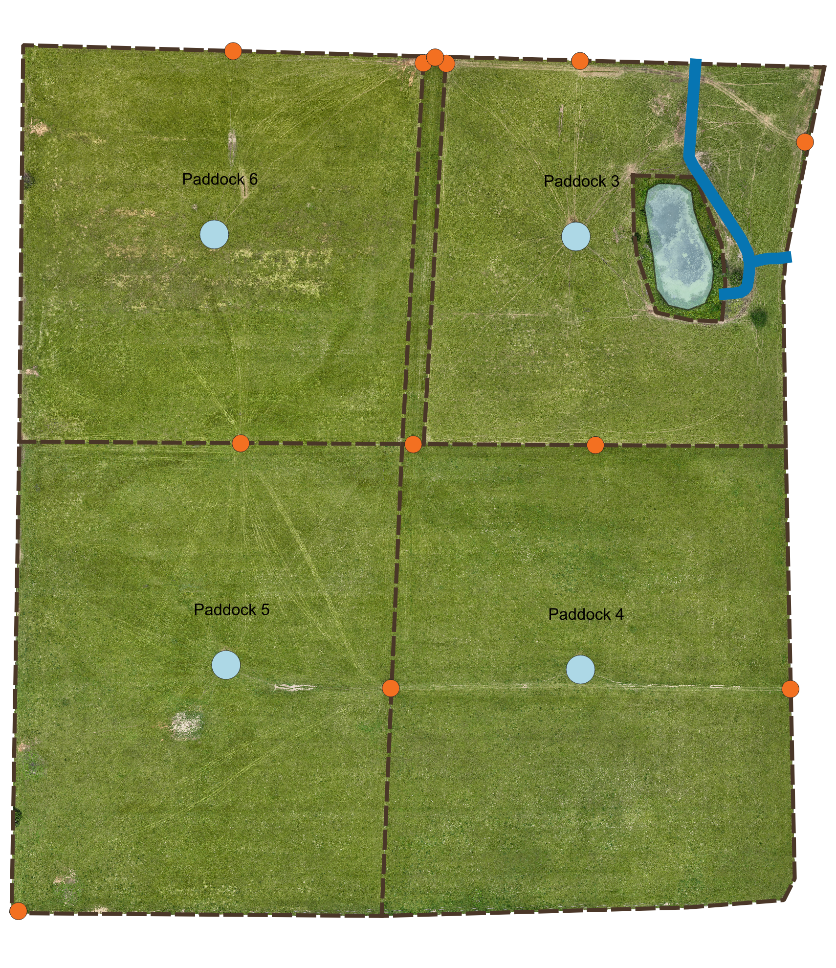
Aerial Property Mapping produces high-resolution RGB imagery of a specific property, captured on-site with a DJI Mavic 3 Multispectral platform. The result is a processed orthomosaic — a single seamless aerial view of the property at a resolution that reveals detail no publicly available imagery can match. Individual trees, mowing patterns, equipment tracks, water features, and infrastructure all read clearly.
The service is designed for clients who need current-condition aerial documentation without the multispectral vegetation analysis or planning depth of a Precision Land Intelligence engagement. Common uses include property documentation for insurance and legal purposes, pre-listing imagery for real estate, baseline documentation before or after management activities, and reference imagery for planning and design work by the landowner or other consultants.
Every flight is scoped to the property, the weather window, and the intended use of the imagery. Deliverables are provided in standard formats suitable for integration with other tools or workflows.
Ready to Map the Property?
Every engagement begins with a scoping conversation. Reach out to discuss the property, the flight scope, and the intended use of the imagery.