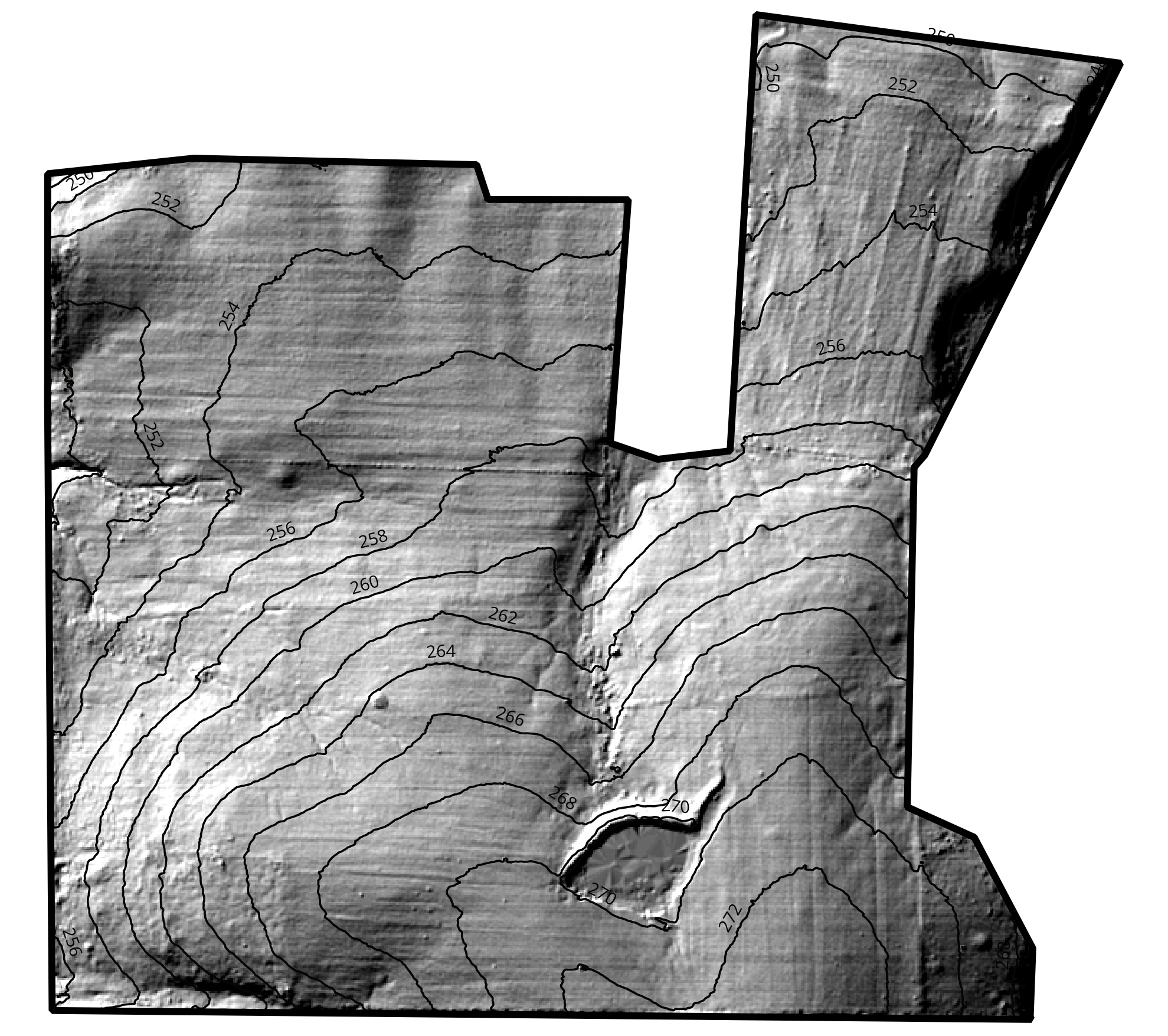
Hillshade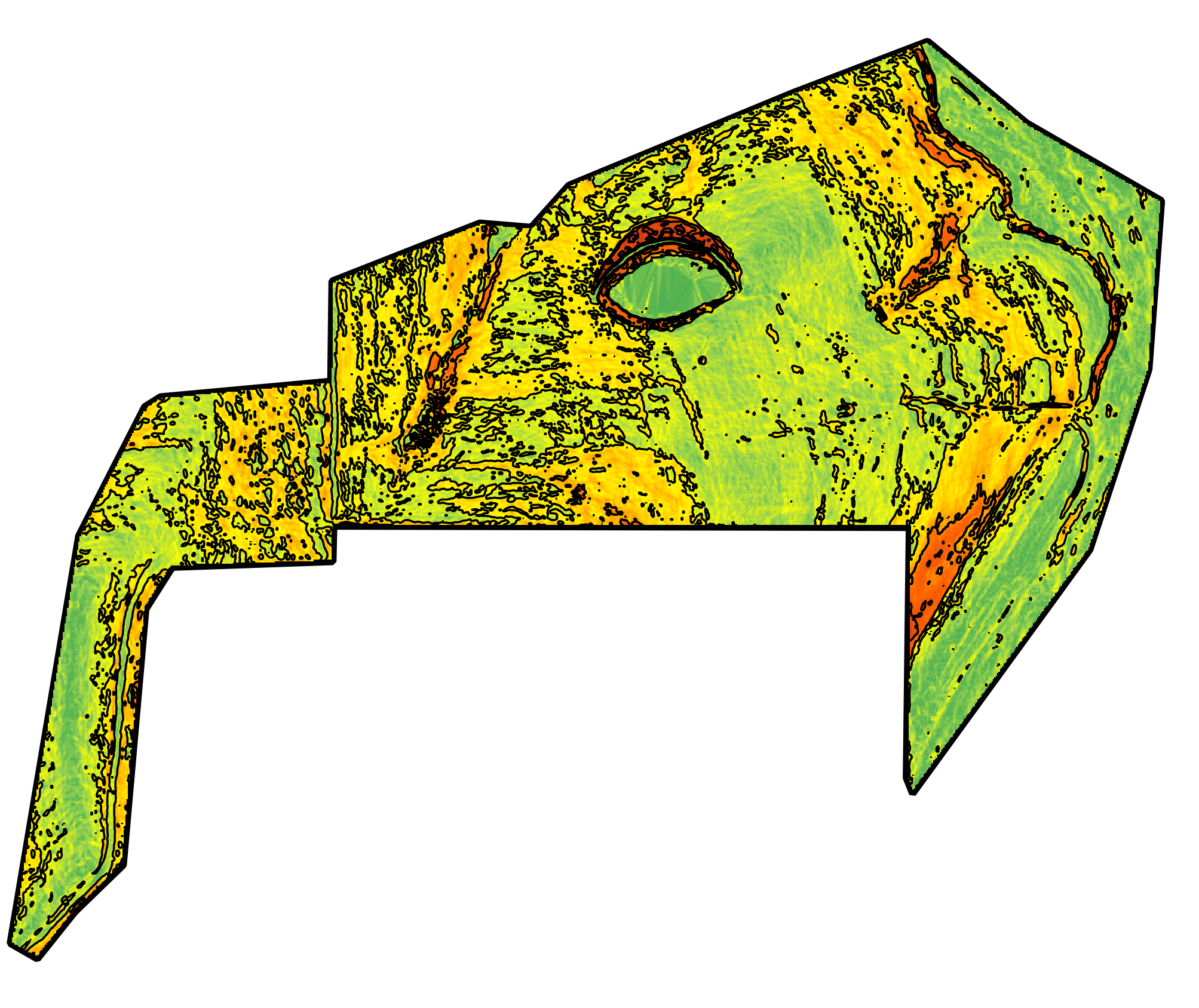
SlopeGIS Mapping and Spatial Analysis.
LiDAR-derived terrain analysis, hillshade, contours, slope classification, drainage, and watershed characterization. For clients who need spatial analysis without a full land intelligence engagement.
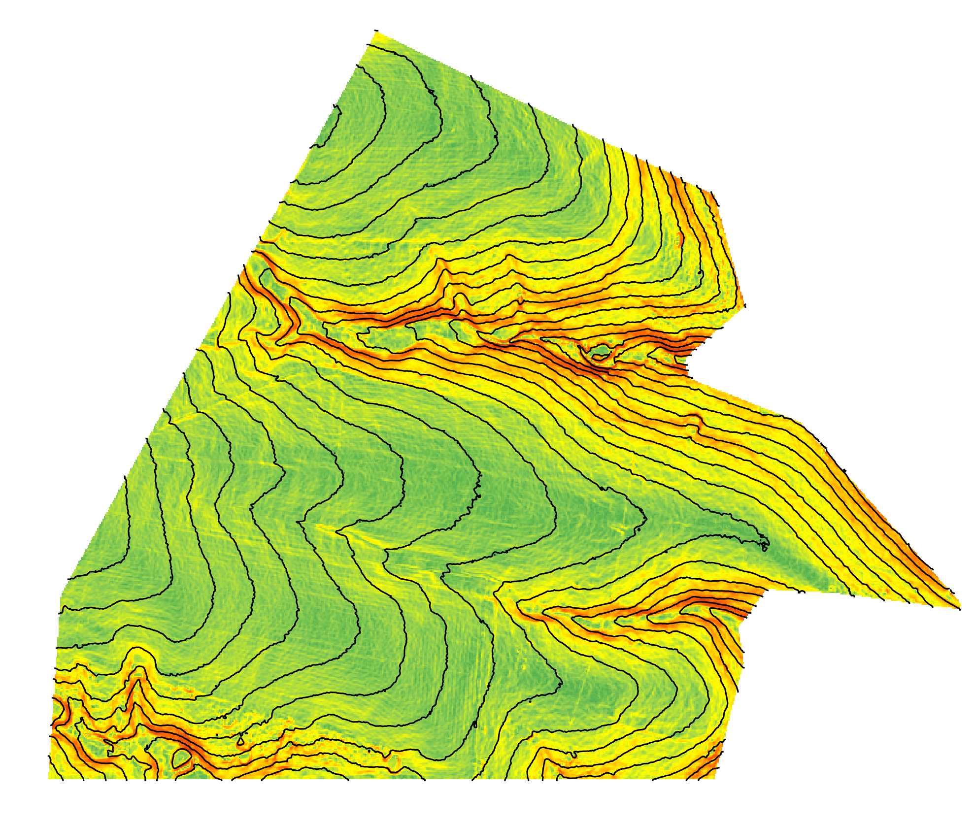
Contours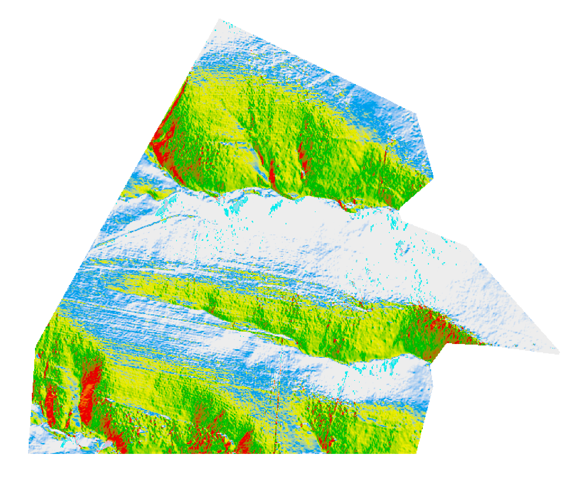
Slope AspectReading the Ground From Above and Between the Contours.
GIS Mapping and Spatial Analysis produces the terrain, drainage, and spatial deliverables that inform how ground actually behaves. Missouri statewide LiDAR is the base — professionally acquired, survey-grade, publicly available elevation data. Processed in QGIS at high resolution, the result is a set of analytical products that reveal what is not visible from ground level: how water moves across the property, where slope drives risk, how terrain shapes access and infrastructure, and where habitat opportunity aligns with landscape position.
Standard outputs include hillshade relief, contour mapping at scoped intervals, slope classification, aspect analysis, and drainage and watershed characterization. Deliverables can also include management zone delineation, viewshed analysis, and habitat evaluation based on terrain position — depending on the analytical question the mapping is meant to answer.
For clients who need spatial analysis without the full analytical planning depth of a Precision Land Intelligence engagement, GIS Mapping stands alone. For agency contacts and conservation partners who need terrain analysis to support cost-share planning or field verification, deliverables are structured to integrate with existing workflows.
Ready to Map the Ground?
Every engagement begins with a scoping conversation. Reach out to discuss the property and the analytical question the mapping is meant to answer.