The Flagship Service
A comprehensive site analysis and conservation plan grounded in the R3 Framework and structured to meet NRCS conservation planning requirements. The engagement AeroTerraX was built to deliver.
Assessment. Plan. Ongoing Relationship.
Precision Land Intelligence is the full application of the R3 Framework to a specific property. It begins with Assessment — comprehensive site characterization drawing on high-resolution aerial imagery, LiDAR terrain analysis, soil sampling, ecological site potential, current vegetation state, infrastructure inventory, and land use history. Every finding is integrated into a single understanding of what the ground is showing and what it is capable of becoming.
From the Assessment, a phased plan is developed. Reset actions where degraded conditions are holding the land below its potential. Restore actions where systems need rebuilding. Regenerative Sustainability protocols where the land is ready for sustained management. Every recommendation is grounded in evidence, sequenced by priority, and honest about uncertainty.
Every Precision Land Intelligence deliverable is structured to meet NRCS conservation planning requirements — supporting cost-share applications, agency workflows, and long-term management decisions.
The Engagement
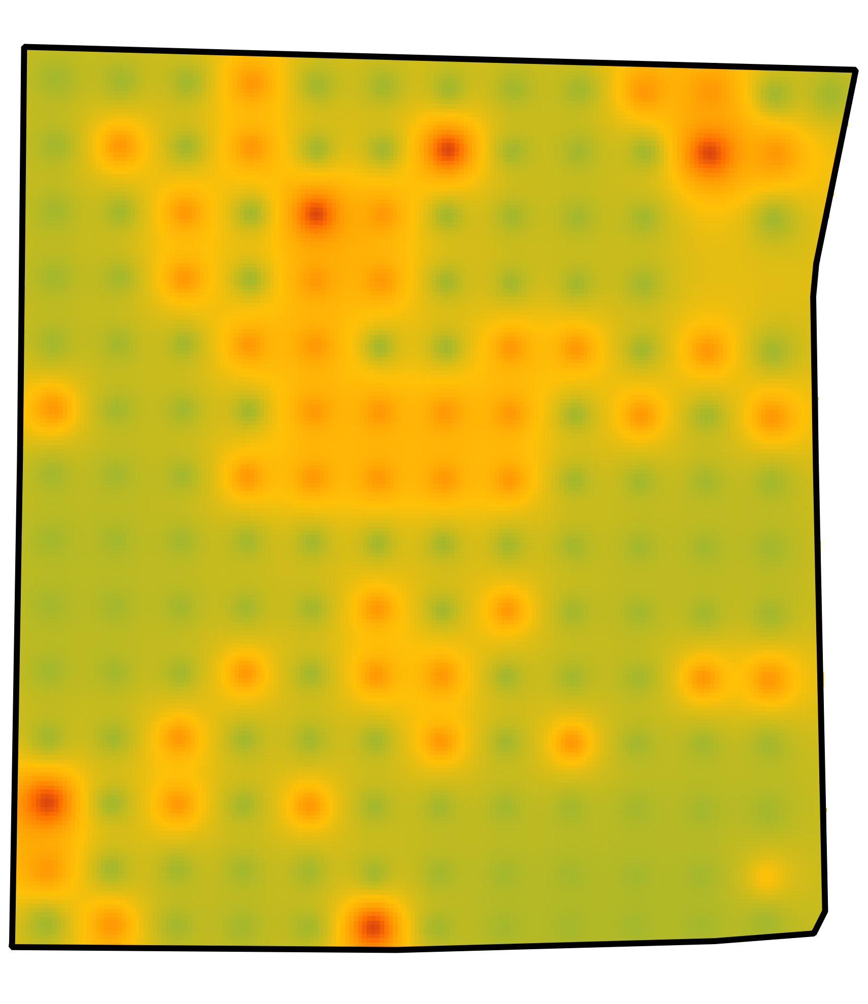
Compaction Mapping at 3", 6" and 9". The question compaction mapping answers: where root growth is restricted.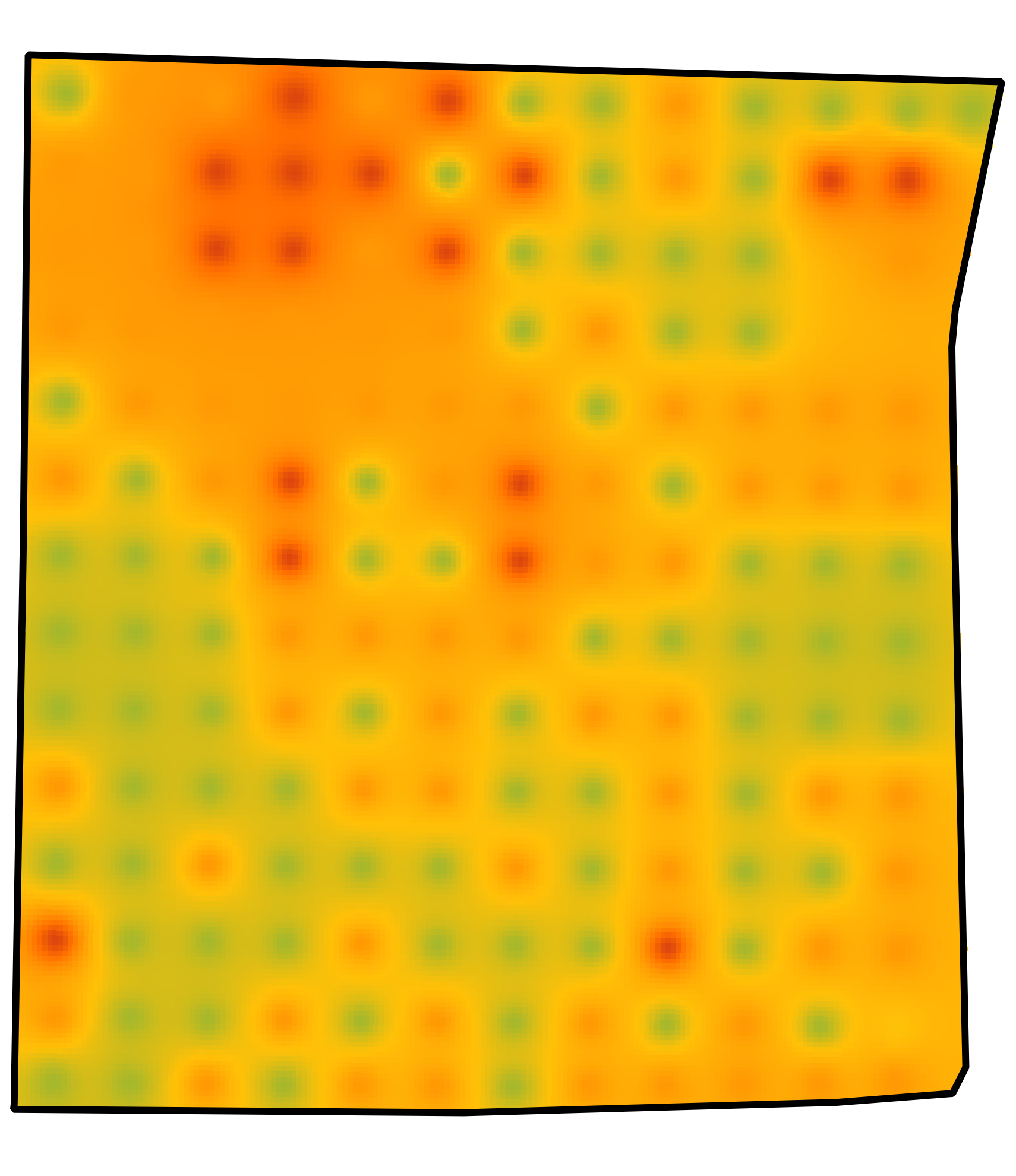
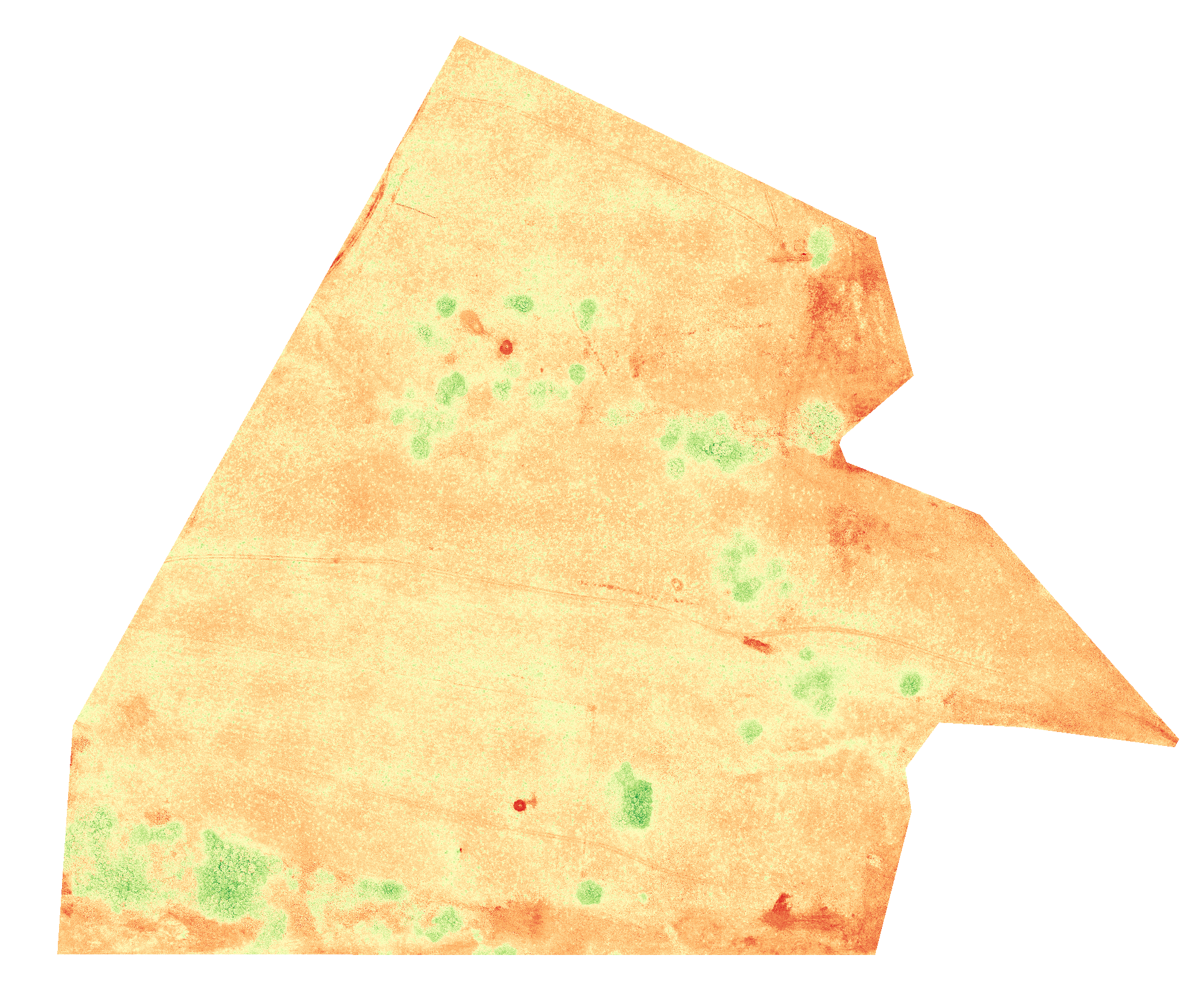
Normalized Difference Red Edge (NDRE) visualizes Plant Health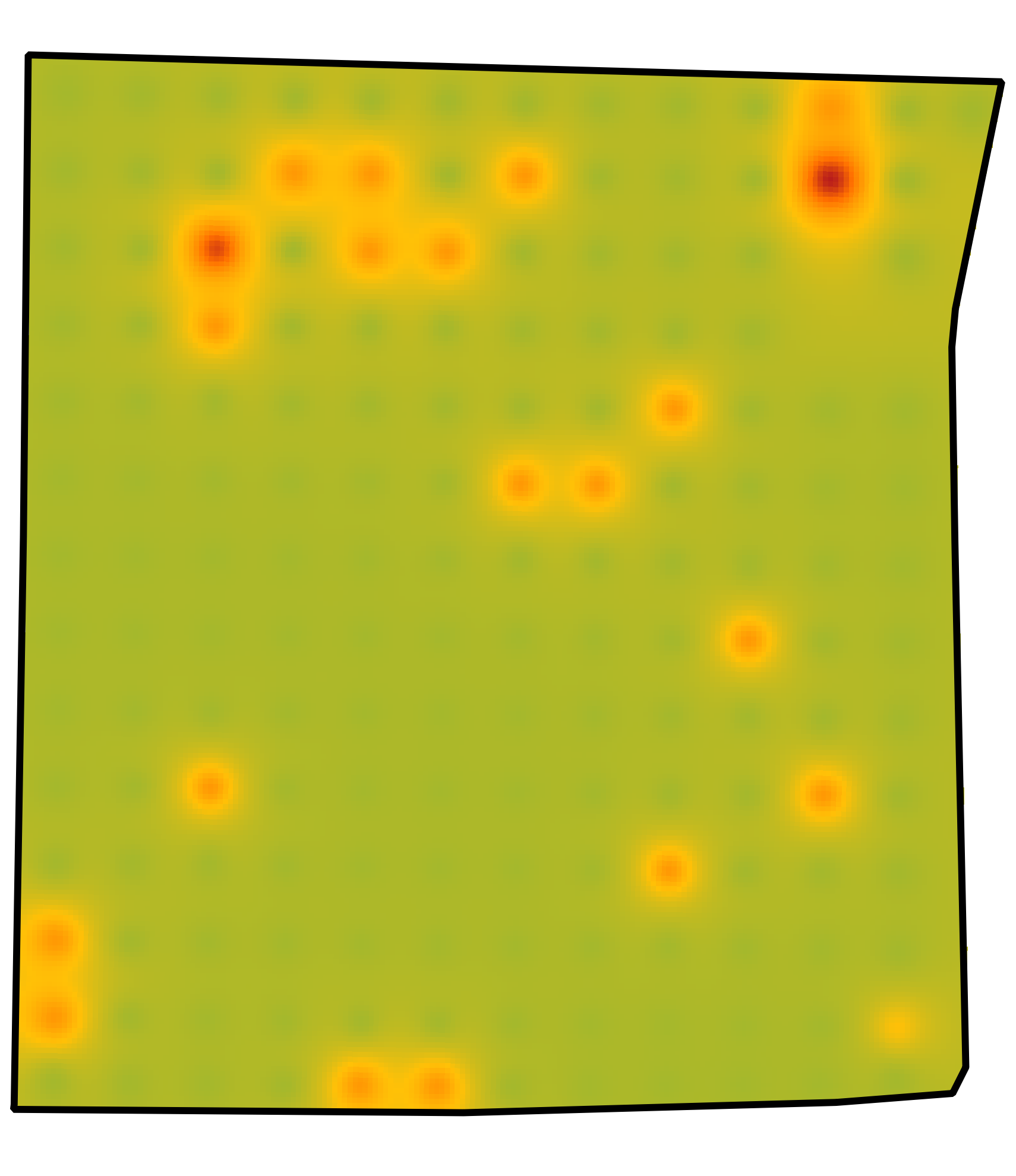
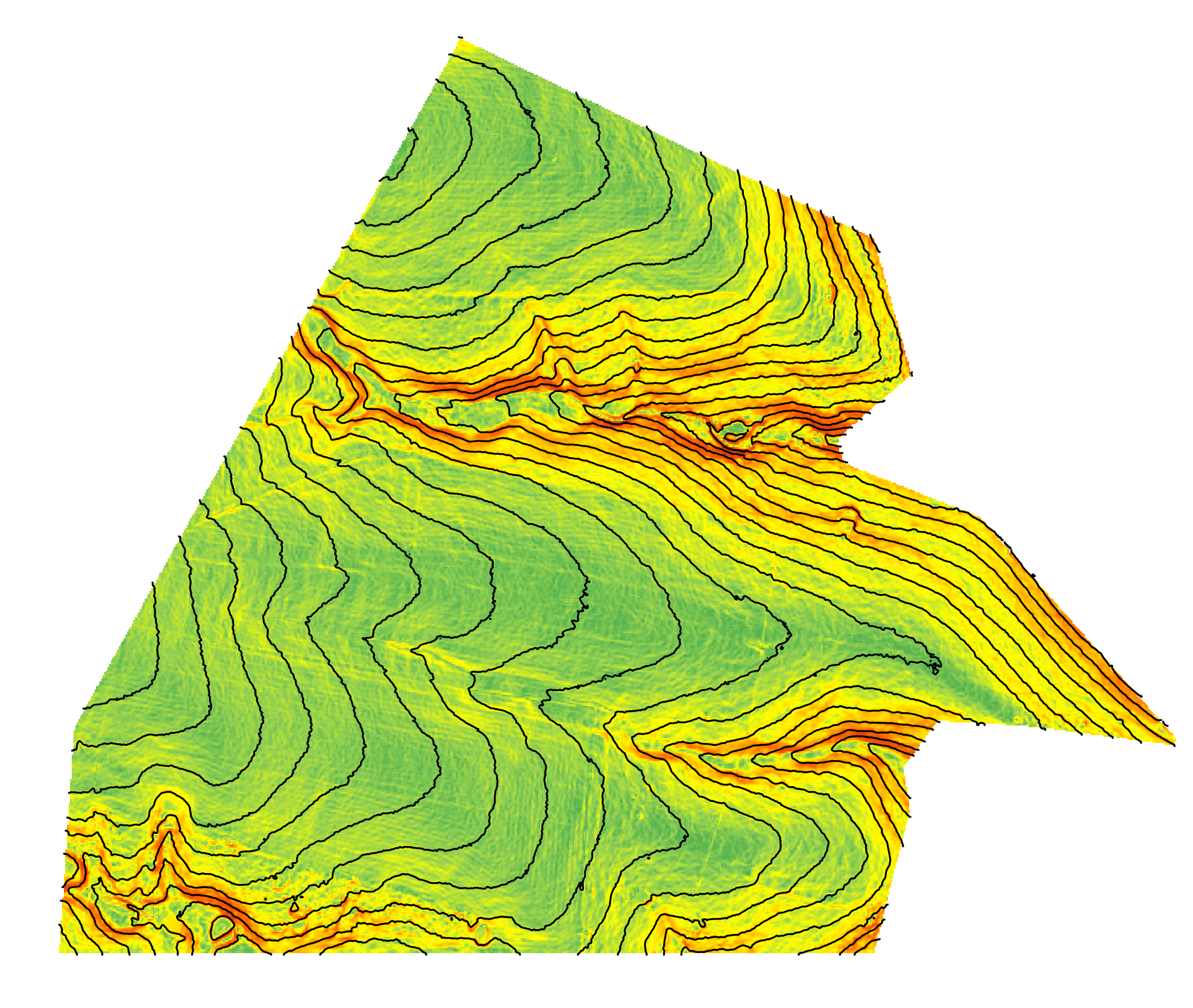
Terrain and Contours. Understanding elevation and Drainage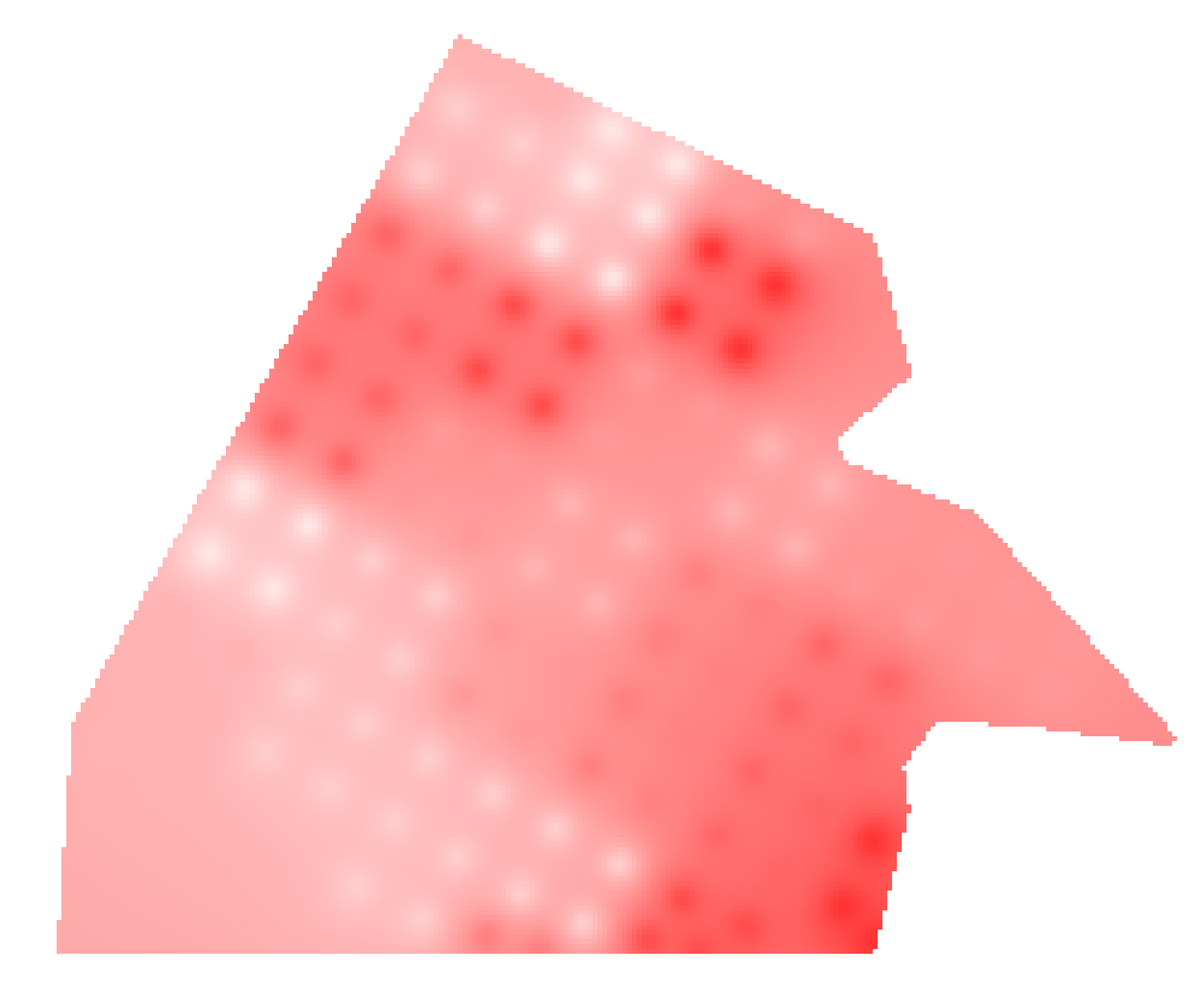

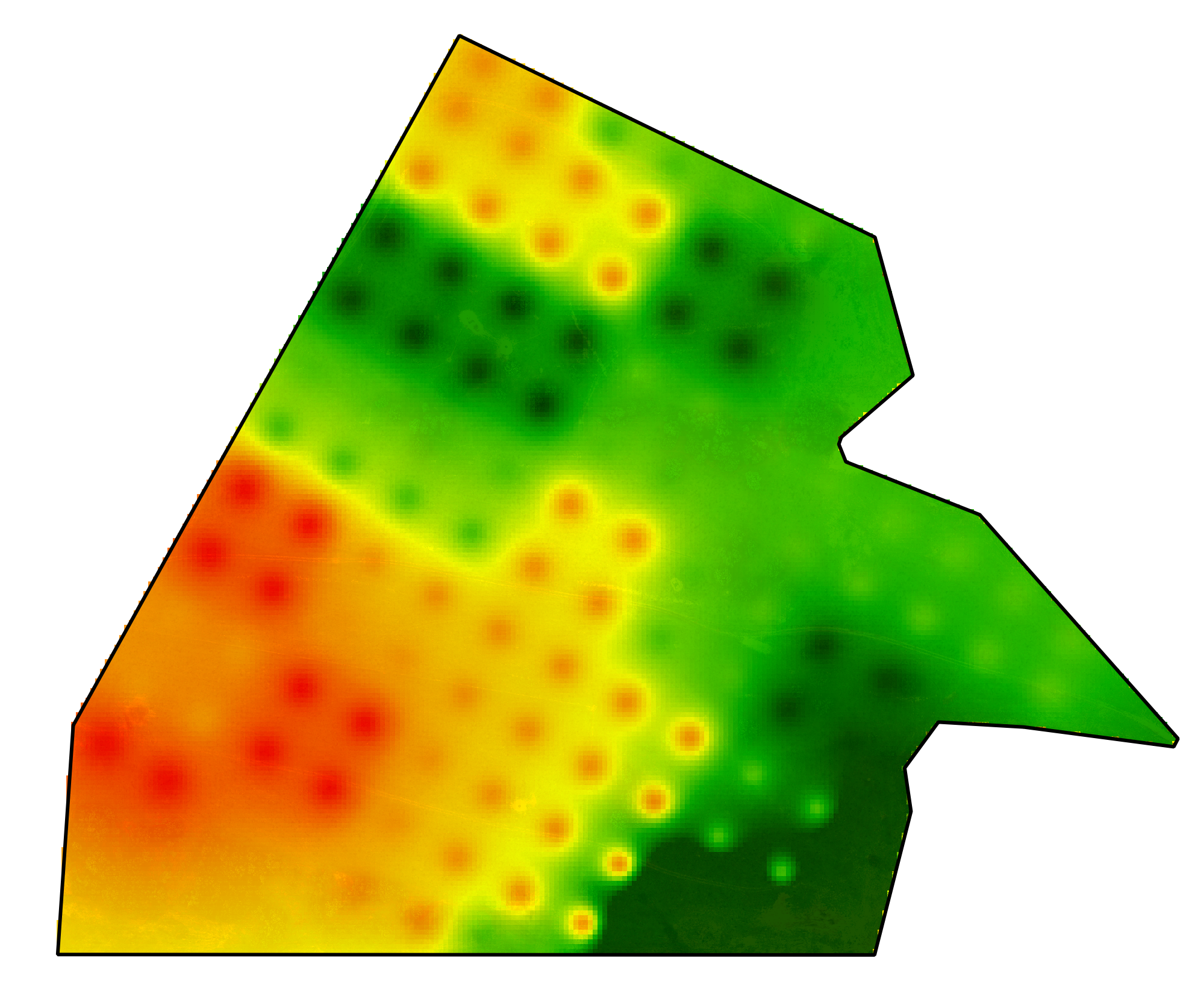
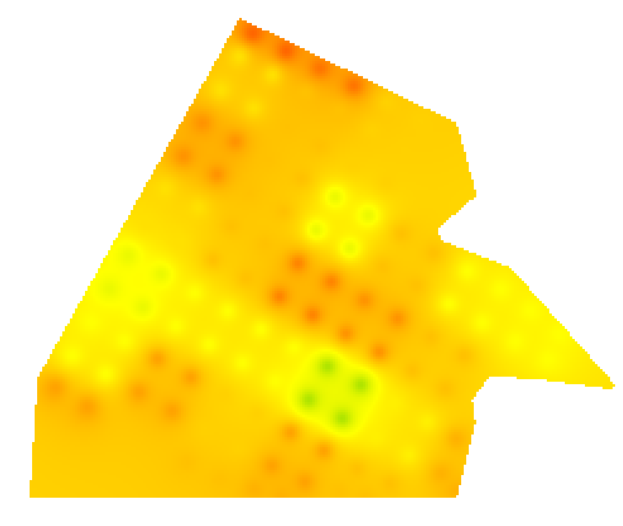
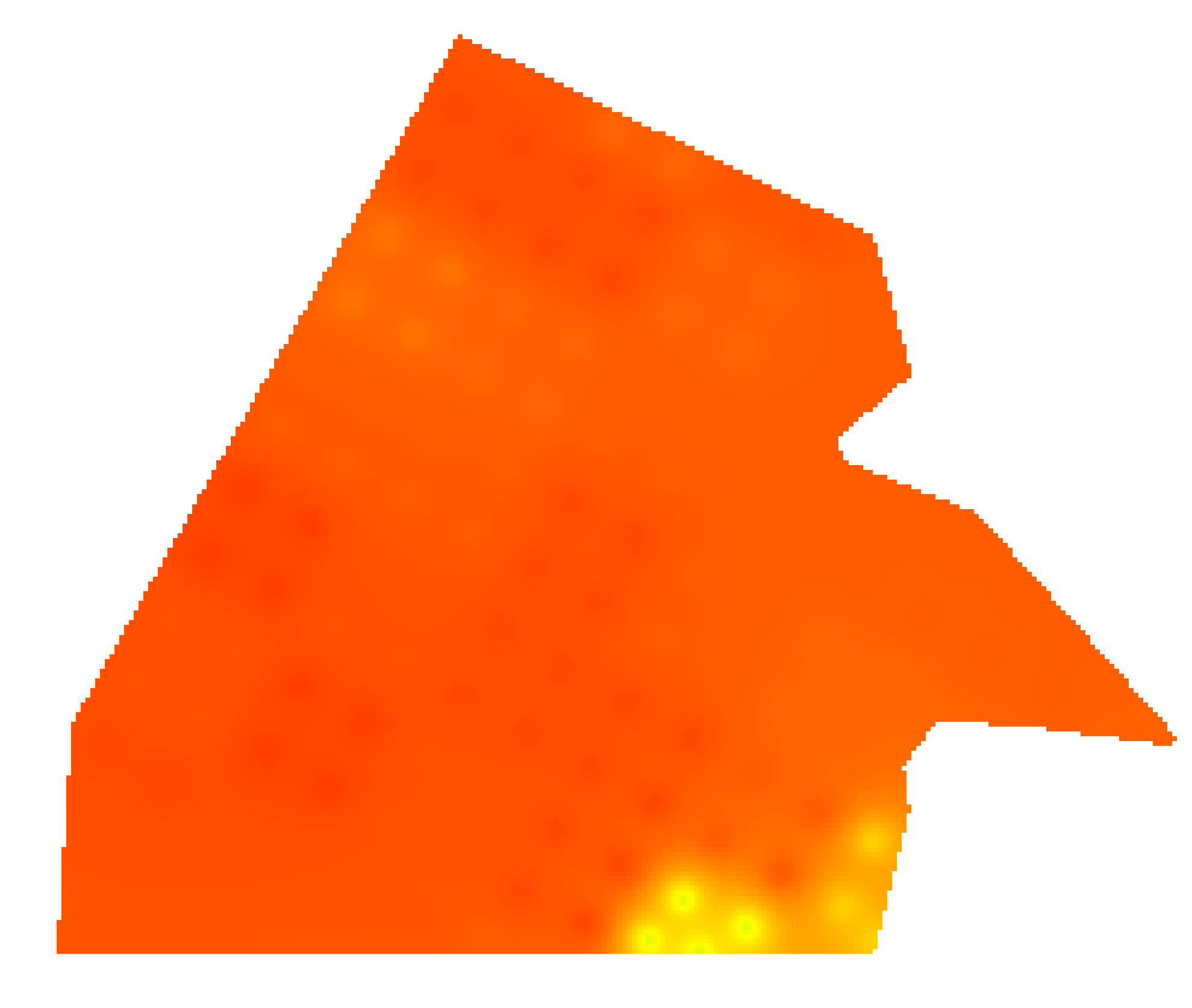
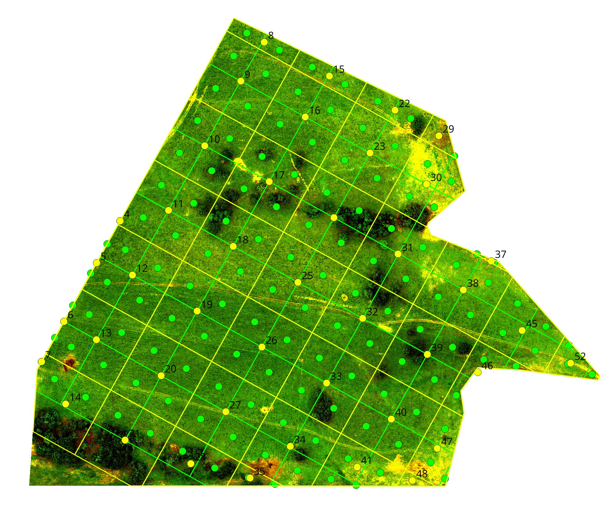
Soil Health. Top Row: pH, Phosphorus,. Center Row: Potassium, Organic Matter Bottom Row: Organic Carbon, Sampling GridsThe Fit
Built for Landowners Who Want Defensible Answers.
Precision Land Intelligence is the right engagement for landowners, producers, and conservation partners who need:
A comprehensive site analysis grounded in evidence, not assumption
A conservation plan that meets NRCS requirements and supports agency programs
Recommendations sequenced by what the land actually calls for
Documentation defensible to family, lenders, agencies, and future stewards
An ongoing working relationship with a practitioner who knows the ground
If the situation calls for a focused deliverable rather than the full engagement — a burn plan, a soil test, an aerial map — the practice offers focused services scoped to that specific question. Every engagement, flagship or focused, begins with the same conversation.
Ready to Start the Conversation?
Every engagement begins with a scoping conversation. Reach out to discuss your property and your objectives.